 High Altitude Cooking Guide
High Altitude Cooking Guide
High Altitude Cooking Guide
Boiling point & recipe times
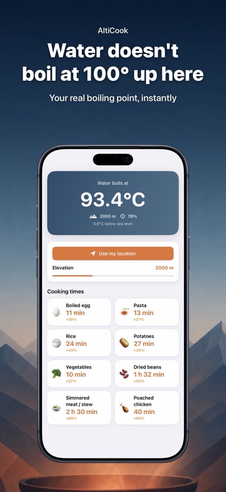
Download on the App StoreSet your elevation once and AltiCook shows the temperature water actually boils at, in °C or °F. Take it automatically from your location or type it in. Higher up, water boils below 100°C, which is why the recipe never quite works.
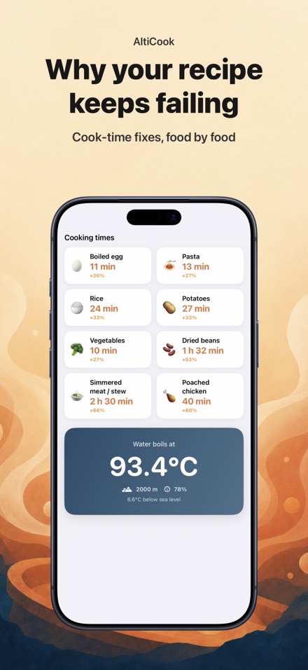
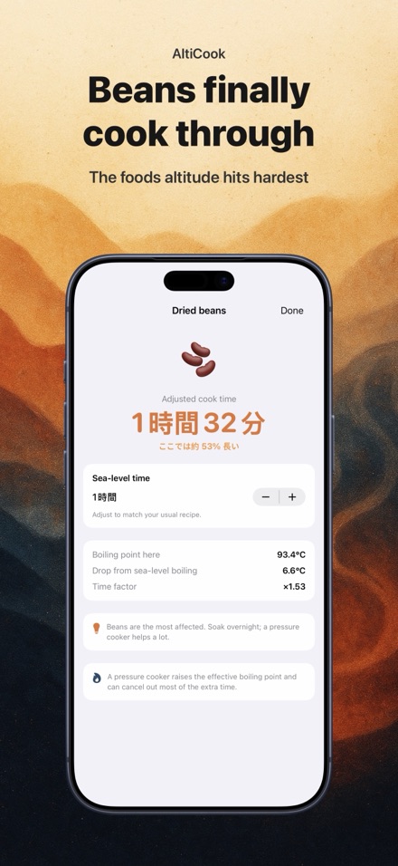
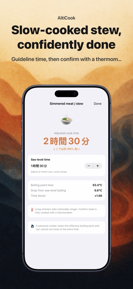
Eggs, pasta, rice, dried pulses, potatoes and slow-simmered meats. For the foods altitude affects most, you get a concrete figure for how much longer to cook — not a vague rule of thumb.
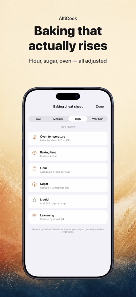
See at a glance how to adjust flour, sugar, liquid, raising agents and oven temperature as you climb. It's the difference between a cake that sinks or dries out at 2,000 metres and one that comes out properly.
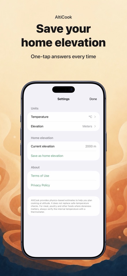
Save your home elevation and the foods you cook most often, and the answer is one tap away. Add the widget and your elevation and boiling point stay on your Home Screen.
Every calculation runs on your device. No account, no connection, no sign-up. It works just the same in a mountain hut with no signal. And it's a one-off purchase, not a subscription.
Tap the f(x) button to see why the boiling point drops with altitude (lower pressure means water boils at a lower temperature), plus a 9-step reference table from 0 to 5000m with your location highlighted. Built on the ISA pressure-altitude formula and the Antoine equation, matching published values within 0.08°C — though real air pressure shifts with weather, so treat it as a close estimate.
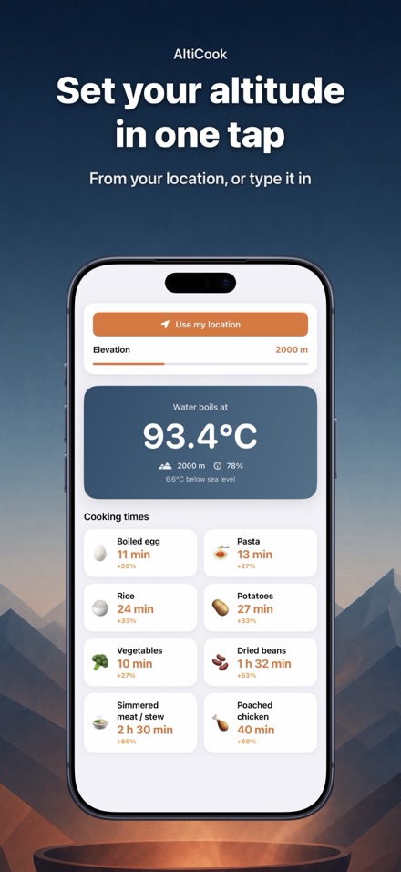
You can take it automatically from your current location or type the figure in yourself. Location is used only at the moment you read your elevation, the value stays on your device, and nothing is sent anywhere. You can save the places you cook most often as your home elevation.